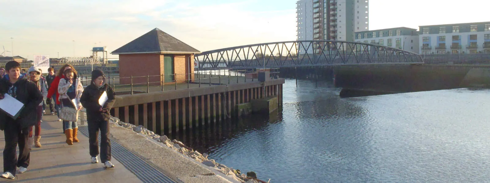
River Tawe
This activity covers all the aspects required in the teaching or hydrology at GCSE level. From source to mouth the river is visited along its course so that variations in width, depth, speed and bed load can be observed. The river is also prone to flash flooding and so has a number of flood defensive techniques along its course.
Close to the source the river can be entered and data collected by students for data analysis. The river runs through a number of conurbations and there are various areas where pollution outflow and other human influences are visible of.
The flood defence methods can be observed and analysed with data from the Environment Agency’s website.
A comprehensive teacher’s pack has been created to allow background and post visit work to be undertaken. This activity can be squashed into one day but is better expanded over a number of sessions to cover more content. The River is also appropriate for A level groups either looking at the changes in a river’s characteristics down stream or effects of man and management on a river’s characteristics.